
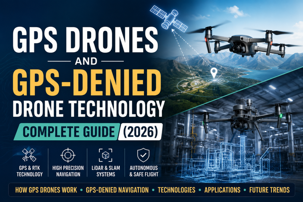
How GPS Drones Work
Satellite Signal Reception
GPS drones communicate with satellites orbiting Earth.
GPS Satellites
The GPS network consists of multiple satellites that continuously transmit location and timing information.
These satellites provide worldwide positioning coverage.
Signal Transmission
Each satellite sends radio signals containing precise timing data.
The drone’s GPS receiver captures these signals.
Position Tracking
By analyzing the received signals, the drone can determine its location and movement.
Position tracking occurs continuously during flight.
Triangulation Process
GPS positioning relies on connections with multiple satellites.
Multiple Satellite Connection
A drone typically needs signals from at least four satellites to determine its position accurately.
More satellite connections generally improve accuracy.
Position Determination
The drone measures the distance from each satellite.
These measurements help identify the drone’s location.
Navigation Calculations
The onboard flight controller processes the data and calculates navigation instructions.
This process happens many times every second.
Coordinate Calculation
GPS systems calculate three-dimensional positioning.
Latitude
Latitude identifies the drone’s north-south position.
Longitude
Longitude identifies the drone’s east-west position.
Altitude Positioning
Altitude determines the drone’s height above sea level.Together, these coordinates provide precise location information.
Core GPS Features in Modern Drones
Return-To-Home (RTH)
Return-To-Home is one of the most important drone safety features.
Emergency Return
The drone automatically flies back to its takeoff point during emergencies.
Low Battery Protection
When battery levels become critical, the drone initiates a return flight.
Signal Loss Recovery
If communication with the controller is lost, the drone can return automatically.
This feature helps prevent drone loss.
Stable Hovering
GPS allows drones to hold position accurately.
Even in light wind conditions, the drone can remain nearly motionless.
Stable hovering improves:
- Photography
- Video recording
- Inspections
- Mapping missions
Geofencing Technology
Geofencing creates virtual boundaries.
The drone recognizes restricted areas and prevents unauthorized entry.
This improves safety and regulatory compliance.
Autonomous Flight Paths
Pilots can create waypoint missions before takeoff.
The drone automatically follows the planned route.
This feature is widely used for:
- Surveying
- Mapping
- Agriculture
- Infrastructure inspections
Follow Me Mode
Follow Me mode allows the drone to track a moving person or object.
The drone uses GPS data to maintain a safe distance while following the target.
This feature is popular among athletes, travelers, and content creators.
GPS Accuracy and Precision Levels
Standard Consumer GPS
Most consumer drones use standard GPS systems.
Typical Accuracy
Consumer GPS generally provides positioning accuracy between 1 and 10 meters.
This level of accuracy is sufficient for recreational flying and aerial photography.
RTK Drone Technology
RTK stands for Real-Time Kinematic positioning.
RTK systems improve location accuracy dramatically.
Centimeter-Level Accuracy
RTK drones can achieve positioning accuracy within a few centimeters.
This precision is essential for:
- Surveying
- Construction
- Mining
- Precision agriculture
GPS Accuracy Factors
Several factors affect GPS performance.
Weather Conditions
Severe atmospheric conditions can slightly reduce accuracy.
Signal Quality
Strong satellite connections improve positioning performance.
Interference
Buildings, trees, radio signals, and electromagnetic sources can affect GPS reception.
What Are GPS-Denied Drones?
Definition
GPS-denied drones are unmanned aerial vehicles that can navigate and operate without relying on GPS satellite signals.Instead of using satellites, these drones use onboard sensors, cameras, LiDAR systems, artificial intelligence, and mapping technologies to understand their surroundings.They are designed for environments where GPS signals are unavailable, blocked, or unreliable.
Why GPS-Denied Navigation Exists
Many operational environments make GPS navigation difficult.
Examples include:
- Indoor facilities
- Underground mines
- Dense urban areas
- Tunnels
- Warehouses
- Cargo ships
In these locations, satellite signals may be weak or completely unavailable.
GPS-denied navigation allows drones to continue operating safely and autonomously.
Challenges of GPS-Denied Environments
Operating without GPS creates several challenges.
These include:
- Unknown positioning
- Obstacle avoidance difficulties
- Limited navigation references
- Dynamic environments
- Reduced situational awareness
Advanced sensor systems help drones overcome these challenges.
Autonomous Navigation Without Satellites
GPS-denied drones continuously analyze their surroundingsThey create maps, track movement, identify obstacles, and estimate their location in real time.This enables autonomous flight even when satellite signals are unavailable.
Navigation Technologies Used in GPS-Denied Drones
Optical Navigation Systems
Optical navigation uses cameras and computer vision technology.
Cameras
The drone captures images of its environment continuously.
These images provide visual information for navigation.
Visual Tracking
Computer vision algorithms identify landmarks and track movement.
The drone compares consecutive images to estimate position changes.
Position Estimation
By analyzing visual data, the drone calculates its location and direction.
This process is often called Visual Odometry.
LiDAR Navigation
LiDAR is one of the most advanced navigation technologies used in autonomous drones.
Laser Pulses
LiDAR systems emit thousands of laser pulses every second.
The reflected signals return to the sensor.
Obstacle Detection
The drone measures distances to nearby objects.
This helps identify obstacles with high accuracy.
Mapping
LiDAR creates detailed three-dimensional maps of the environment.
These maps support autonomous navigation and inspections.
SLAM Technology
SLAM stands for Simultaneous Localization and Mapping.
It is one of the most important technologies in GPS-denied navigation.
Simultaneous Localization and Mapping
The drone builds a map while determining its own position within that map.
Both processes occur simultaneously.
Real-Time Environment Mapping
SLAM continuously updates environmental data during flight.
This allows the drone to adapt to changing conditions.
Autonomous Navigation
The generated map helps the drone move safely without external positioning systems.
Many advanced inspection drones rely on SLAM technology.
Where GPS-Denied Drones Are Used
Indoor Industrial Inspections
Factories contain equipment, machinery, and confined spaces where GPS signals are unavailable.
GPS-denied drones inspect these areas safely and efficiently.
Bridge Inspections
Bridges often contain structural sections where GPS signals become weak.
Drones can inspect hard-to-reach areas while reducing safety risks.
Underground Mining Operations
Mining tunnels completely block GPS signals.
GPS-denied drones help:
- Map tunnels
- Monitor safety conditions
- Inspect infrastructure
Critical Infrastructure Security
Power plants, industrial facilities, and secure environments often require indoor surveillance and inspections.
GPS-denied drones support these operations effectively.
Maritime Cargo Hold Inspections
Cargo ships contain enclosed spaces where GPS signals cannot penetrate.
Autonomous drones can inspect cargo holds faster than human teams.
Operational Benefits of GPS-Denied Drones
Improved Safety
Drones reduce the need for workers to enter dangerous locations.
This significantly improves workplace safety.
Reduced Human Risk
Many inspections involve heights, confined spaces, or hazardous conditions.
Drones eliminate much of this exposure.
Faster Inspections
Autonomous systems complete inspections much faster than traditional methods.
Organizations save valuable time.
Downtime Reduction
Facilities can return to normal operations sooner.
This reduces operational disruptions and maintenance costs.
3D Environmental Modeling
GPS-denied drones create highly detailed 3D models.
These models support:
- Engineering analysis
- Maintenance planning
- Asset management
GPS Drone Advantages and Disadvantages
Advantages
Easy Flying
GPS stabilization makes drones easier to control.
Beginner Friendly
New pilots can learn faster with automated safety systems.
Better Stability
GPS helps maintain accurate positioning during flight.
Automated Safety Features
Functions such as Return-To-Home improve operational safety.
Disadvantages
Higher Cost
Advanced GPS systems increase drone prices.
Signal Blockage
Buildings, tunnels, and indoor environments can block GPS signals.
Battery Consumption
Navigation systems consume additional power.
GPS Interference Issues
Electronic interference may reduce positioning accuracy.
Buying Guide for GPS Drones
Essential Hardware Features
When choosing a GPS drone, focus on important hardware components.
Brushless Motors
Brushless motors provide:
- Better efficiency
- Longer lifespan
- Improved flight performance
3-Axis Gimbal
A 3-axis gimbal stabilizes the camera.
This produces smoother photos and videos.
Obstacle Avoidance
Obstacle detection sensors improve safety during autonomous flights.
Foldable Design
Foldable drones are easier to transport and store.
GPS Drone Price Categories
Entry-Level Drones
₹10,000–₹80,000
Suitable for:
- Beginners
- Hobbyists
- Casual photography
Common features include:
- GPS stabilization
- Return-To-Home
- Basic camera systems
Mid-Range GPS Drones
₹80,000–₹8 Lakh
Ideal for:
- Content creators
- Surveyors
- Small businesses
These drones typically offer:
- Better cameras
- Longer flight times
- Advanced flight modes
Professional RTK Drones
₹8 Lakh+
Designed for:
- Surveying
- Construction
- Mining
- Enterprise operations
Professional drones provide centimeter-level positioning accuracy.
Industry Applications of GPS Drones
Mining Stockpile Measurement
Mining companies use GPS drones to calculate stockpile volumes quickly and accurately.
Oil and Gas Infrastructure
Drones inspect pipelines, refineries, and remote facilities.
This reduces operational costs and improves safety.
Wind Turbine Inspection
GPS drones inspect turbine blades without requiring technicians to climb structures.
Search and Rescue Missions
Emergency responders use drones to locate missing persons and assess disaster zones.
Public Safety Surveillance
Government agencies use drones for:
- Crowd monitoring
- Traffic management
- Emergency response
Future of Drone Navigation Technology
AI-Based Navigation
Artificial intelligence will make drones more autonomous and capable of making real-time decisions.
Advanced SLAM Systems
Future SLAM solutions will provide greater accuracy and reliability.
Fully Autonomous Drones
Next-generation drones may perform entire missions without human intervention.
Swarm Drone Operations
Multiple drones will work together as coordinated fleets.
These systems can complete large-scale tasks efficiently.
Smart City Drone Integration
Drones will become part of future smart city infrastructure.
Applications may include:
- Traffic monitoring
- Package delivery
- Infrastructure inspections
- Emergency services
Frequently Asked Questions (FAQs)
What is a GPS drone?
A GPS drone is a drone that uses satellite positioning systems to determine its location, maintain stable flight, and perform autonomous functions such as Return-To-Home and waypoint navigation.
How accurate is GPS on drones?
Most consumer drones offer accuracy between 1 and 10 meters. RTK drones can achieve centimeter-level accuracy.
What is RTK technology in drones?
RTK stands for Real-Time Kinematic positioning. It enhances GPS accuracy by using correction data from a base station.
Can drones fly without GPS?
Yes. Modern drones can use cameras, LiDAR, SLAM, and inertial sensors to navigate without GPS signals.
What are GPS-denied drones?
GPS-denied drones are drones designed to operate in environments where GPS signals are unavailable or unreliable.
What is SLAM navigation?
SLAM stands for Simultaneous Localization and Mapping. It allows drones to build maps and determine their position in real time.
Which industries use GPS-denied drones?
Industries such as mining, manufacturing, energy, maritime, infrastructure inspection, and security commonly use GPS-denied drones.
Are GPS drones suitable for beginners?
Yes. GPS drones are generally easier to fly because they offer stable hovering, automatic positioning, and built-in safety features.
Conclusion
GPS technology has transformed modern drone operations by making flight safer, more stable, and more autonomous. Features such as Return-To-Home, waypoint navigation, and precision positioning have made GPS drones valuable for both recreational and commercial users.
At the same time, GPS-denied drone technology is opening new possibilities for operations in complex environments where satellite signals cannot reach. Through innovations such as LiDAR, computer vision, and SLAM, drones can now navigate independently in indoor facilities, tunnels, mines, and industrial sites.
As artificial intelligence and autonomous navigation continue to advance, the future of drone technology will become increasingly intelligent, accurate, and capable of operating in almost any environment.